Muddy track and bridge over River Coly
Introduction
The photograph on this page of Muddy track and bridge over River Coly by David Smith as part of the Geograph project.
The Geograph project started in 2005 with the aim of publishing, organising and preserving representative images for every square kilometre of Great Britain, Ireland and the Isle of Man.

There are currently over 7.5m images from over 14,400 individuals and you can help contribute to the project by visiting https://www.geograph.org.uk
Muddy track and bridge over River Coly
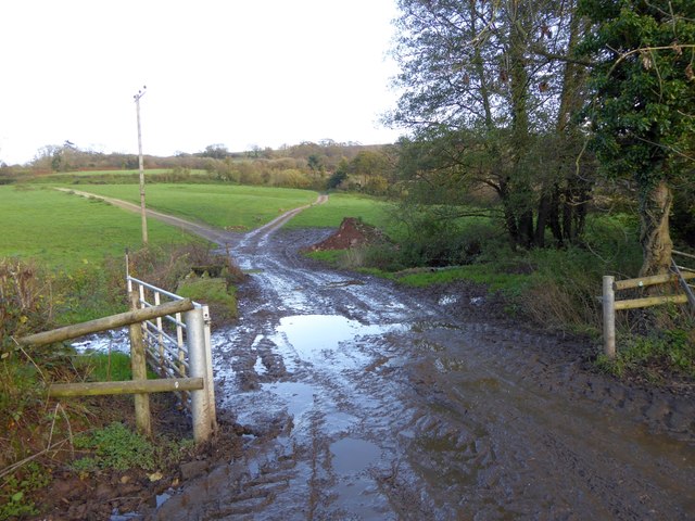
Image: © David Smith Taken: 20 Nov 2015
This is marked as a ford on the OS map. The track is a permissive path to Poltimore Farm
Images are licensed for reuse under creativecommons.org/licenses/by-sa/2.0
Image Location
Latitude
50.767599
Longitude
-3.171236