Terraced housing, High Northgate
Introduction
The photograph on this page of Terraced housing, High Northgate by Trevor Littlewood as part of the Geograph project.
The Geograph project started in 2005 with the aim of publishing, organising and preserving representative images for every square kilometre of Great Britain, Ireland and the Isle of Man.

There are currently over 7.5m images from over 14,400 individuals and you can help contribute to the project by visiting https://www.geograph.org.uk
Terraced housing, High Northgate
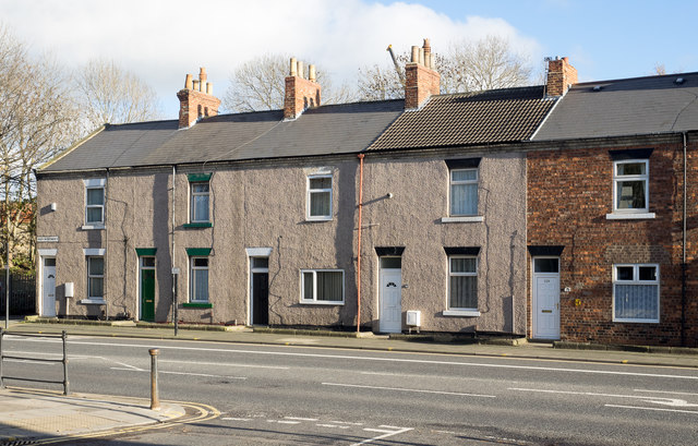
Image: © Trevor Littlewood Taken: 19 Nov 2015
High Northgate is the name of either the terrace of housing or that by which the A167 is known at this location, which is adjacent to Darlington's North Road Station.
Images are licensed for reuse under creativecommons.org/licenses/by-sa/2.0
Image Location
Latitude
54.534756
Longitude
-1.552729