Canal feeder by Gibbons Recreation Ground
Introduction
The photograph on this page of Canal feeder by Gibbons Recreation Ground by Robin Webster as part of the Geograph project.
The Geograph project started in 2005 with the aim of publishing, organising and preserving representative images for every square kilometre of Great Britain, Ireland and the Isle of Man.

There are currently over 7.5m images from over 14,400 individuals and you can help contribute to the project by visiting https://www.geograph.org.uk
Canal feeder by Gibbons Recreation Ground
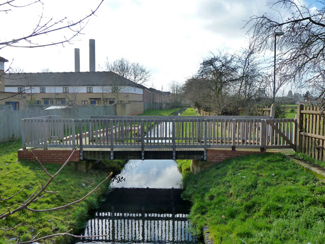
Image: © Robin Webster Taken: 12 Feb 2011
The footbridge running to a deck by the feeder appears to be for educational purposes - a path from it runs across the recreation ground to the local primary school.
Images are licensed for reuse under creativecommons.org/licenses/by-sa/2.0
Image Location
Latitude
51.548031
Longitude
-0.2552