Approaching Lidgett
Introduction
The photograph on this page of Approaching Lidgett by Chris Morgan as part of the Geograph project.
The Geograph project started in 2005 with the aim of publishing, organising and preserving representative images for every square kilometre of Great Britain, Ireland and the Isle of Man.

There are currently over 7.5m images from over 14,400 individuals and you can help contribute to the project by visiting https://www.geograph.org.uk
Approaching Lidgett
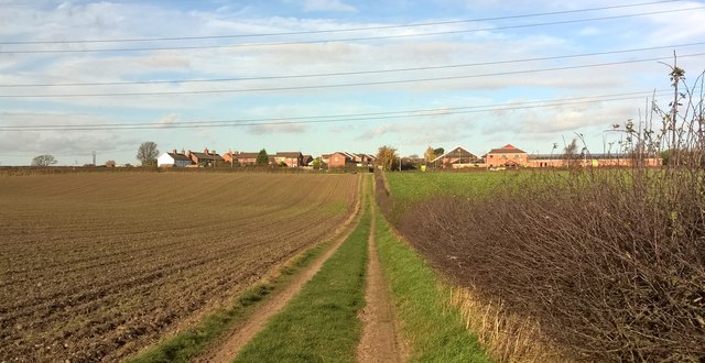
Image: © Chris Morgan Taken: 16 Nov 2015
The power lines, so prominent in this area, soar above - coal underground and abundant cooling water from the River Trent made the nearby power stations very economic - until quite recently!
Images are licensed for reuse under creativecommons.org/licenses/by-sa/2.0
Image Location
Latitude
53.182592
Longitude
-1.056793