Castle Earthworks
Introduction
The photograph on this page of Castle Earthworks by David Medcalf as part of the Geograph project.
The Geograph project started in 2005 with the aim of publishing, organising and preserving representative images for every square kilometre of Great Britain, Ireland and the Isle of Man.

There are currently over 7.5m images from over 14,400 individuals and you can help contribute to the project by visiting https://www.geograph.org.uk
Castle Earthworks
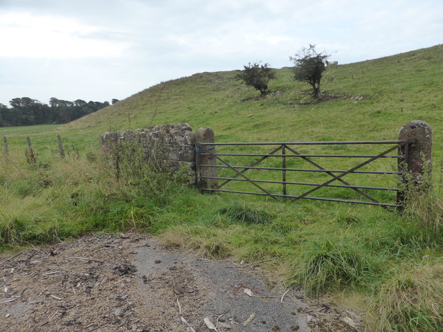
Image: © David Medcalf Taken: 14 Sep 2014
This is private farmland and it's not possible to get closer to the prominent castle site.
Images are licensed for reuse under creativecommons.org/licenses/by-sa/2.0
Image Location
Latitude
54.451558
Longitude
-3.509585