Overflow from Fiddle Neck Pond
Introduction
The photograph on this page of Overflow from Fiddle Neck Pond by Chris Morgan as part of the Geograph project.
The Geograph project started in 2005 with the aim of publishing, organising and preserving representative images for every square kilometre of Great Britain, Ireland and the Isle of Man.

There are currently over 7.5m images from over 14,400 individuals and you can help contribute to the project by visiting https://www.geograph.org.uk
Overflow from Fiddle Neck Pond
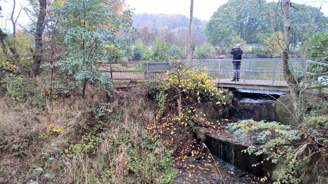
Image: © Chris Morgan Taken: 27 Oct 2015
On this day there had been very little rain for many weeks. Within the next 3 weeks the backlog started to be made up.
Images are licensed for reuse under creativecommons.org/licenses/by-sa/2.0
Image Location
Latitude
53.355477
Longitude
-1.294726