Junction of Springfields Road and Newcastle Lane
Introduction
The photograph on this page of Junction of Springfields Road and Newcastle Lane by Jonathan Hutchins as part of the Geograph project.
The Geograph project started in 2005 with the aim of publishing, organising and preserving representative images for every square kilometre of Great Britain, Ireland and the Isle of Man.

There are currently over 7.5m images from over 14,400 individuals and you can help contribute to the project by visiting https://www.geograph.org.uk
Junction of Springfields Road and Newcastle Lane
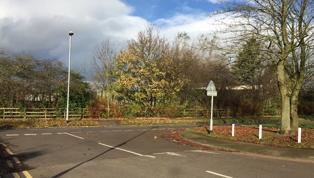
Image: © Jonathan Hutchins Taken: 13 Nov 2015
On the far side of the road lies Harplands Hospital, a mental health unit.
Images are licensed for reuse under creativecommons.org/licenses/by-sa/2.0
Image Location
Latitude
52.999617
Longitude
-2.209159