Mains of Auchnagatt
Introduction
The photograph on this page of Mains of Auchnagatt by Ken Fitlike as part of the Geograph project.
The Geograph project started in 2005 with the aim of publishing, organising and preserving representative images for every square kilometre of Great Britain, Ireland and the Isle of Man.

There are currently over 7.5m images from over 14,400 individuals and you can help contribute to the project by visiting https://www.geograph.org.uk
Mains of Auchnagatt
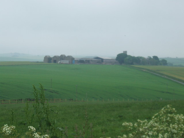
Image: © Ken Fitlike Taken: 21 Jun 2007
Large farm steading - shot from next grid square south for perspective. Unusual 'tall and narrow' sheds to the left A typical gloomy June 2007 day in Aberdeenshire - this view needs a follow up 'sunny day' shot.
Images are licensed for reuse under creativecommons.org/licenses/by-sa/2.0
Image Location


Leaflet Map data © OpenStreetMap
Latitude
57.462555
Longitude
-2.12033