Monks Way, Bovey Tracey
Introduction
The photograph on this page of Monks Way, Bovey Tracey by Derek Harper as part of the Geograph project.
The Geograph project started in 2005 with the aim of publishing, organising and preserving representative images for every square kilometre of Great Britain, Ireland and the Isle of Man.

There are currently over 7.5m images from over 14,400 individuals and you can help contribute to the project by visiting https://www.geograph.org.uk
Monks Way, Bovey Tracey
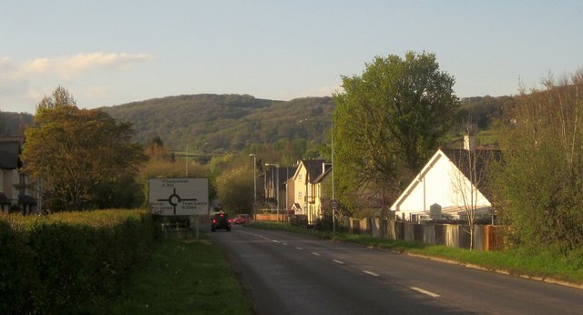
Image: © Derek Harper Taken: 26 Apr 2015
Looking in the other direction along the A382 from the same spot as Image, with the roundabout at the crossroads with the B3387 / 3344 ahead. Monks Way continues straight on, still using the line of the former railway for another 230 metres or so. In the background are the woods on the slopes of Shaptor Down.
Images are licensed for reuse under creativecommons.org/licenses/by-sa/2.0
Image Location
Latitude
50.590578
Longitude
-3.680943