Detail of the Cantlop milestone
Introduction
The photograph on this page of Detail of the Cantlop milestone by Richard Law as part of the Geograph project.
The Geograph project started in 2005 with the aim of publishing, organising and preserving representative images for every square kilometre of Great Britain, Ireland and the Isle of Man.

There are currently over 7.5m images from over 14,400 individuals and you can help contribute to the project by visiting https://www.geograph.org.uk
Detail of the Cantlop milestone
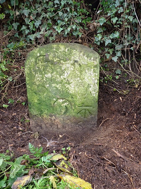
Image: © Richard Law Taken: 7 Nov 2015
This close-up view shows what remains of the fading lettering and mileage roundel, along with the OS benchmark that was levelled at 93.888m above Ordnance Datum Newlyn.
Images are licensed for reuse under creativecommons.org/licenses/by-sa/2.0
Image Location
Latitude
52.645535
Longitude
-2.71367