The Cantlop milestone
Introduction
The photograph on this page of The Cantlop milestone by Richard Law as part of the Geograph project.
The Geograph project started in 2005 with the aim of publishing, organising and preserving representative images for every square kilometre of Great Britain, Ireland and the Isle of Man.

There are currently over 7.5m images from over 14,400 individuals and you can help contribute to the project by visiting https://www.geograph.org.uk
The Cantlop milestone
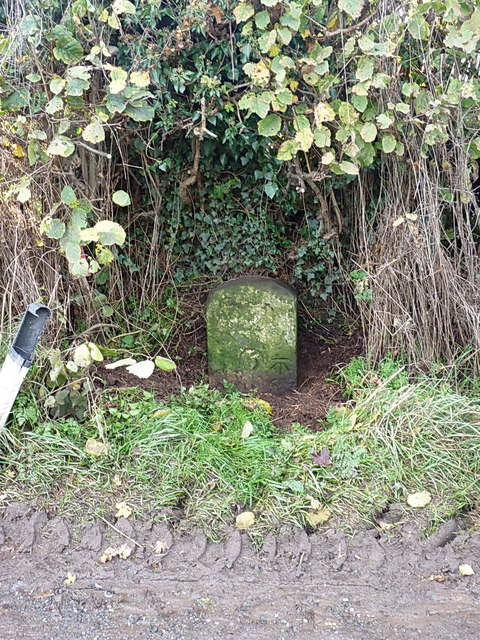
Image: © Richard Law Taken: 7 Nov 2015
General view of the milestone set in the hedgerow at Cantlop, on the Shrewsbury - Acton Burnell road, which was turnpiked in 1797. The lettering has weathered, but in close-up you can still read the name 'Salop' (ie Shrewsbury) at the top, and the mileage beneath it of 5.
Images are licensed for reuse under creativecommons.org/licenses/by-sa/2.0
Image Location
Latitude
52.645535
Longitude
-2.71367