Horse fields, Woodditton
Introduction
The photograph on this page of Horse fields, Woodditton by Hugh Venables as part of the Geograph project.
The Geograph project started in 2005 with the aim of publishing, organising and preserving representative images for every square kilometre of Great Britain, Ireland and the Isle of Man.

There are currently over 7.5m images from over 14,400 individuals and you can help contribute to the project by visiting https://www.geograph.org.uk
Horse fields, Woodditton
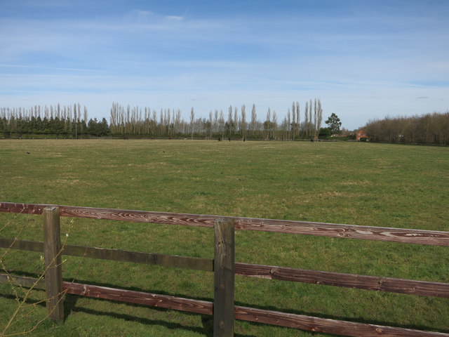
Image: © Hugh Venables Taken: 2 Apr 2015
Most of the area is used for stud farms. Perhaps those worried about solar farms displacing food production might suggest that they are sited here.
Images are licensed for reuse under creativecommons.org/licenses/by-sa/2.0
Image Location
Latitude
52.198961
Longitude
0.430297