Woods at Strathleven
Introduction
The photograph on this page of Woods at Strathleven by Lairich Rig as part of the Geograph project.
The Geograph project started in 2005 with the aim of publishing, organising and preserving representative images for every square kilometre of Great Britain, Ireland and the Isle of Man.

There are currently over 7.5m images from over 14,400 individuals and you can help contribute to the project by visiting https://www.geograph.org.uk
Woods at Strathleven
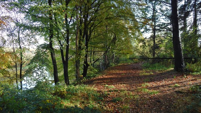
Image: © Lairich Rig Taken: 29 Oct 2015
The River Leven is on the left. Until a few decades ago, these woods contained the huge, gnarled Bruce Oak; see Image The woods are the ones that are also shown on the left in Image, on the right in Image, and in the background of Image
Images are licensed for reuse under creativecommons.org/licenses/by-sa/2.0
Image Location


Leaflet Map data © OpenStreetMap
Latitude
55.971303
Longitude
-4.574484