Fields, pylons and caravan site
Introduction
The photograph on this page of Fields, pylons and caravan site by Clint Mann as part of the Geograph project.
The Geograph project started in 2005 with the aim of publishing, organising and preserving representative images for every square kilometre of Great Britain, Ireland and the Isle of Man.

There are currently over 7.5m images from over 14,400 individuals and you can help contribute to the project by visiting https://www.geograph.org.uk
Fields, pylons and caravan site
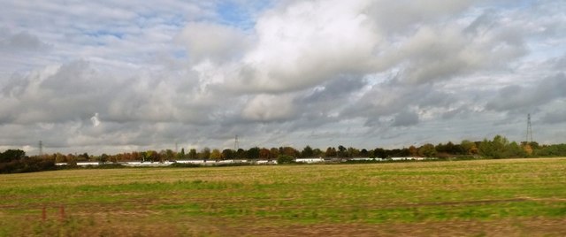
Image: © Clint Mann Taken: 28 Oct 2015
Looking north of railway line, half way between Langley and Iver stations. Mansion Lane Caravan site seen in distance.
Images are licensed for reuse under creativecommons.org/licenses/by-sa/2.0
Image Location
Latitude
51.509207
Longitude
-0.52558