Red Bay
Introduction
The photograph on this page of Red Bay by Anne Burgess as part of the Geograph project.
The Geograph project started in 2005 with the aim of publishing, organising and preserving representative images for every square kilometre of Great Britain, Ireland and the Isle of Man.

There are currently over 7.5m images from over 14,400 individuals and you can help contribute to the project by visiting https://www.geograph.org.uk
Red Bay
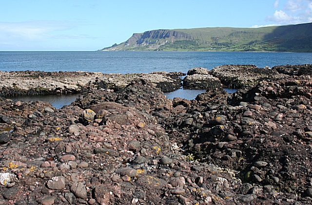
Image: © Anne Burgess Taken: 29 May 2007
The foreground red rocks, from which the bay presumably takes its name, are conglomerates and sandstones of the Red Arch Foundation, laid down by flash floods on an alluvial fan. Their exact age is still the subject of debate.
Images are licensed for reuse under creativecommons.org/licenses/by-sa/2.0
Image Location


Leaflet Map data © OpenStreetMap
Latitude
55.074734
Longitude
-6.053143