Ardingly Street, Brighton
Introduction
The photograph on this page of Ardingly Street, Brighton by Simon Carey as part of the Geograph project.
The Geograph project started in 2005 with the aim of publishing, organising and preserving representative images for every square kilometre of Great Britain, Ireland and the Isle of Man.

There are currently over 7.5m images from over 14,400 individuals and you can help contribute to the project by visiting https://www.geograph.org.uk
Ardingly Street, Brighton
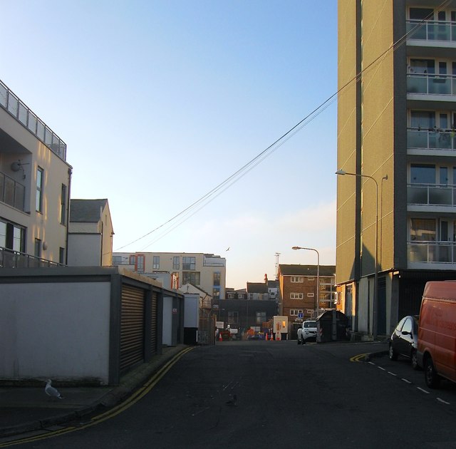
Image: © Simon Carey Taken: 1 Nov 2015
More a service road that runs from Chapel Street across High Street and ends beyond Cavendish Street. The road was created in the early 1970s when much of three streets mentioned above were demolished. On the right is part of the high rise St James's Lodge.
Images are licensed for reuse under creativecommons.org/licenses/by-sa/2.0
Image Location
Latitude
50.820953
Longitude
-0.132797