Side road beyond Forge Lane, Pontypool
Introduction
The photograph on this page of Side road beyond Forge Lane, Pontypool by Jaggery as part of the Geograph project.
The Geograph project started in 2005 with the aim of publishing, organising and preserving representative images for every square kilometre of Great Britain, Ireland and the Isle of Man.

There are currently over 7.5m images from over 14,400 individuals and you can help contribute to the project by visiting https://www.geograph.org.uk
Side road beyond Forge Lane, Pontypool
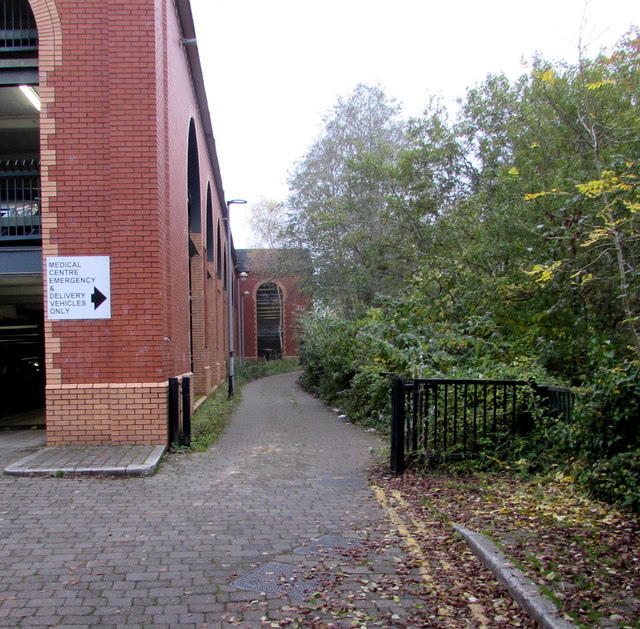
Image: © Jaggery Taken: 3 Nov 2015
The road between Riverside multistorey car park http://www.geograph.org.uk/photo/4730071 and a river, the Afon Lwyd, is for medical centre emergency & delivery vehicles only.
Images are licensed for reuse under creativecommons.org/licenses/by-sa/2.0
Image Location
Latitude
51.704641
Longitude
-3.042171