Knitsley
Introduction
The photograph on this page of Knitsley by Trevor Littlewood as part of the Geograph project.
The Geograph project started in 2005 with the aim of publishing, organising and preserving representative images for every square kilometre of Great Britain, Ireland and the Isle of Man.

There are currently over 7.5m images from over 14,400 individuals and you can help contribute to the project by visiting https://www.geograph.org.uk
Knitsley
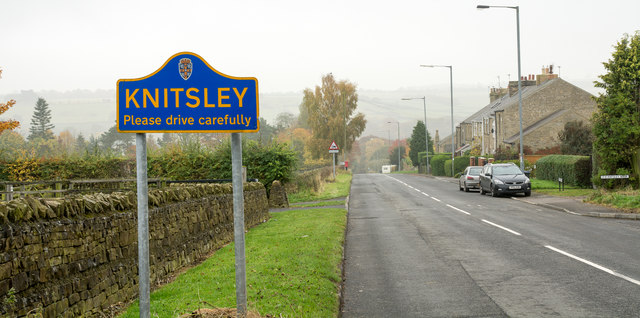
Image: © Trevor Littlewood Taken: 4 Nov 2015
Knitsley is a hamlet on the outskirts of Consett. The road entering it is Butsfield Road beside which stands a blue and yellow sign in the typical County Durham style.
Images are licensed for reuse under creativecommons.org/licenses/by-sa/2.0
Image Location
Latitude
54.832893
Longitude
-1.811601