Lock gates and lock-keeper's house, Heybridge sea-lock (2)
Introduction
The photograph on this page of Lock gates and lock-keeper's house, Heybridge sea-lock (2) by Stefan Czapski as part of the Geograph project.
The Geograph project started in 2005 with the aim of publishing, organising and preserving representative images for every square kilometre of Great Britain, Ireland and the Isle of Man.

There are currently over 7.5m images from over 14,400 individuals and you can help contribute to the project by visiting https://www.geograph.org.uk
Lock gates and lock-keeper's house, Heybridge sea-lock (2)
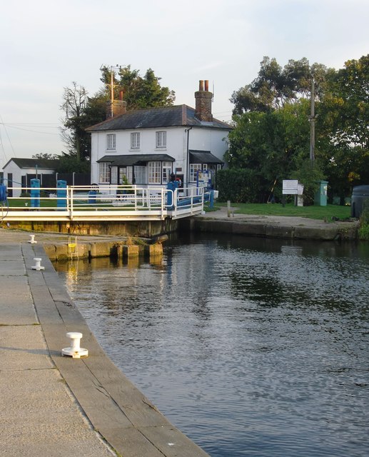
Image: © Stefan Czapski Taken: 27 Oct 2015
Heybridge lock connects the Chelmer & Blackwater Navigation to the tidal waters of the Blackwater estuary. View from the seaward end of Heybridge Basin, showing the gates at the inner end of the lock.
Images are licensed for reuse under creativecommons.org/licenses/by-sa/2.0
Image Location
Latitude
51.728842
Longitude
0.708972