Disused Building, Renfrew
Introduction
The photograph on this page of Disused Building, Renfrew by Stephen Sweeney as part of the Geograph project.
The Geograph project started in 2005 with the aim of publishing, organising and preserving representative images for every square kilometre of Great Britain, Ireland and the Isle of Man.

There are currently over 7.5m images from over 14,400 individuals and you can help contribute to the project by visiting https://www.geograph.org.uk
Disused Building, Renfrew
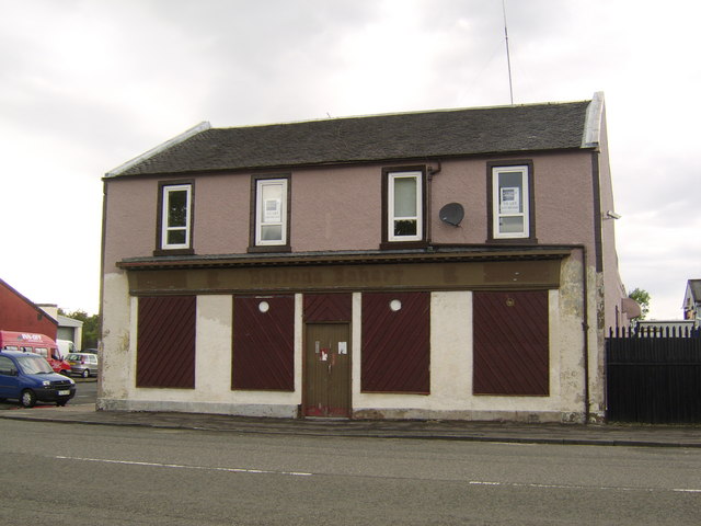
Image: © Stephen Sweeney Taken: 20 Jun 2007
Former Barton's Bakery, this premises may well be worth a pound or two, especially on completion of the nearby Ferry Village.
Images are licensed for reuse under creativecommons.org/licenses/by-sa/2.0
Image Location
Latitude
55.884794
Longitude
-4.384849