Trees near Venn Lane
Introduction
The photograph on this page of Trees near Venn Lane by Derek Harper as part of the Geograph project.
The Geograph project started in 2005 with the aim of publishing, organising and preserving representative images for every square kilometre of Great Britain, Ireland and the Isle of Man.

There are currently over 7.5m images from over 14,400 individuals and you can help contribute to the project by visiting https://www.geograph.org.uk
Trees near Venn Lane
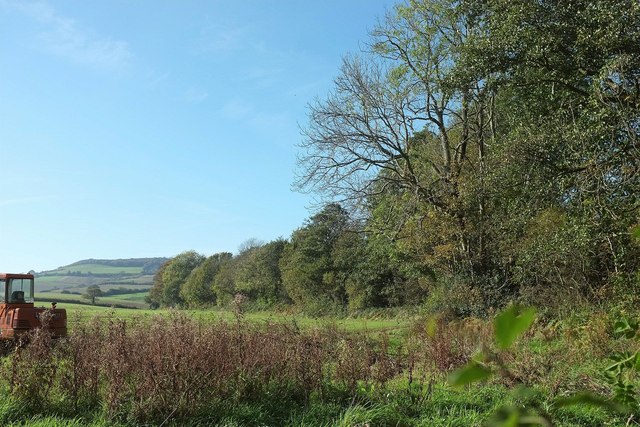
Image: © Derek Harper Taken: 31 Oct 2015
These are along a stream which forms the parish boundary between Chideock (left) and Symondsbury. According to the 1:50000 map this is the River Winniford, flowing east before turning south nearby down to the sea past Chideock. However, a more detailed OS map gives a northern headwater as the river, rising on Denhay Hill, although its course is shorter.
Images are licensed for reuse under creativecommons.org/licenses/by-sa/2.0
Image Location
Latitude
50.748075
Longitude
-2.82574