Seven Acre Lane, Braunton
Introduction
The photograph on this page of Seven Acre Lane, Braunton by David Smith as part of the Geograph project.
The Geograph project started in 2005 with the aim of publishing, organising and preserving representative images for every square kilometre of Great Britain, Ireland and the Isle of Man.

There are currently over 7.5m images from over 14,400 individuals and you can help contribute to the project by visiting https://www.geograph.org.uk
Seven Acre Lane, Braunton
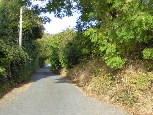
Image: © David Smith Taken: 9 Oct 2015
This lane retains its rural appearance; on the west side is an old wall, and on the right a hedgebank. The houses on the right are reached by a separate road (Seven Acre Park)
Images are licensed for reuse under creativecommons.org/licenses/by-sa/2.0
Image Location
Latitude
51.106512
Longitude
-4.153008