Stanley Road, Redland
Introduction
The photograph on this page of Stanley Road, Redland by Derek Harper as part of the Geograph project.
The Geograph project started in 2005 with the aim of publishing, organising and preserving representative images for every square kilometre of Great Britain, Ireland and the Isle of Man.

There are currently over 7.5m images from over 14,400 individuals and you can help contribute to the project by visiting https://www.geograph.org.uk
Stanley Road, Redland
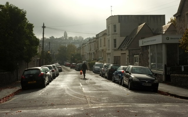
Image: © Derek Harper Taken: 28 Oct 2015
Looking across the junction with Chandos Road (foreground). On the right is the Bristol Property Partnership; at the far end, though not visible here, is the local, The Kensington Arms.
Images are licensed for reuse under creativecommons.org/licenses/by-sa/2.0
Image Location
Latitude
51.467909
Longitude
-2.604156