The Queens Head (closed)
Introduction
The photograph on this page of The Queens Head (closed) by Robin Webster as part of the Geograph project.
The Geograph project started in 2005 with the aim of publishing, organising and preserving representative images for every square kilometre of Great Britain, Ireland and the Isle of Man.

There are currently over 7.5m images from over 14,400 individuals and you can help contribute to the project by visiting https://www.geograph.org.uk
The Queens Head (closed)
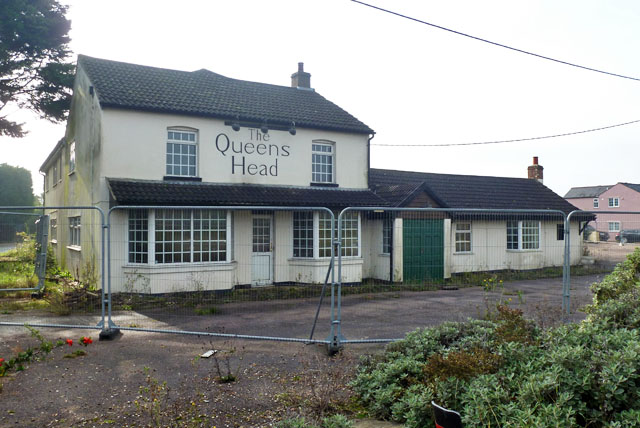
Image: © Robin Webster Taken: 31 Oct 2015
On the A120 east of Coggeshall. In 2006 it was called the Porter House Inn - see Image .
Images are licensed for reuse under creativecommons.org/licenses/by-sa/2.0
Image Location
Latitude
51.873426
Longitude
0.71417