Coast and Castles route through Blyth
Introduction
The photograph on this page of Coast and Castles route through Blyth by Oliver Dixon as part of the Geograph project.
The Geograph project started in 2005 with the aim of publishing, organising and preserving representative images for every square kilometre of Great Britain, Ireland and the Isle of Man.

There are currently over 7.5m images from over 14,400 individuals and you can help contribute to the project by visiting https://www.geograph.org.uk
Coast and Castles route through Blyth
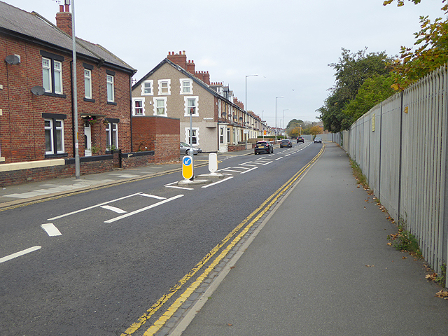
Image: © Oliver Dixon Taken: 26 Oct 2015
National Cycle Network route 1 (Coast and Castles) here follows the footway along the B1329 on the east side of Blyth. The high fence on the right demarcates the Dock area.
Images are licensed for reuse under creativecommons.org/licenses/by-sa/2.0
Image Location
Latitude
55.118408
Longitude
-1.501081