Steps on path to lane at the end of Ty-Brachty Terrace, Kendon
Introduction
The photograph on this page of Steps on path to lane at the end of Ty-Brachty Terrace, Kendon by M J Roscoe as part of the Geograph project.
The Geograph project started in 2005 with the aim of publishing, organising and preserving representative images for every square kilometre of Great Britain, Ireland and the Isle of Man.

There are currently over 7.5m images from over 14,400 individuals and you can help contribute to the project by visiting https://www.geograph.org.uk
Steps on path to lane at the end of Ty-Brachty Terrace, Kendon
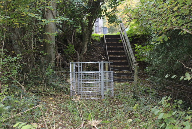
Image: © M J Roscoe Taken: 23 Oct 2015
The steps, part of public footpath, replace a scramble up the slope from the edge of a playing field
Images are licensed for reuse under creativecommons.org/licenses/by-sa/2.0
Image Location
Latitude
51.682151
Longitude
-3.158528