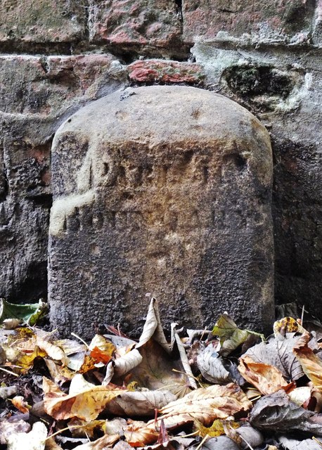
Gallows Lane, Beverley, Yorkshire
Introduction
The photograph on this page of Gallows Lane, Beverley, Yorkshire by Bernard Sharp as part of the Geograph project.
The Geograph project started in 2005 with the aim of publishing, organising and preserving representative images for every square kilometre of Great Britain, Ireland and the Isle of Man.
There are currently over 7.5m images from over 14,400 individuals and you can help contribute to the project by visiting https://www.geograph.org.uk

Image: © Bernard Sharp Taken: 23 Oct 2015
The boundary stone depicted, marked on the 1908 O.S. map, is set against the rear wall of Hurn House, No.33 New Walk, in the footpath that extends from Gallows Lane to the gate leading to Westwood Pasture. The stone is inscribed 'PARISH BOUNDARY'. Beyond the said wall is St Mary's parish; the photographer is positioned in Molescroft. The custom of perambulating the boundaries of the parish was observed annually during Rogation week. To this end, the priest and his congregation would pass from one boundary stone to another. The parish boundaries were first fully mapped in 1851-2; they may have been substantially those that existed in the Middle Ages.

