The north side of arch at back of Stainforth Bridge
Introduction
The photograph on this page of The north side of arch at back of Stainforth Bridge by Roger Templeman as part of the Geograph project.
The Geograph project started in 2005 with the aim of publishing, organising and preserving representative images for every square kilometre of Great Britain, Ireland and the Isle of Man.

There are currently over 7.5m images from over 14,400 individuals and you can help contribute to the project by visiting https://www.geograph.org.uk
The north side of arch at back of Stainforth Bridge
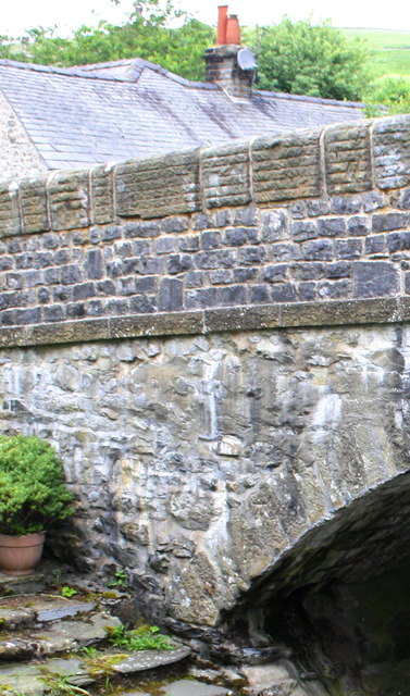
Image: © Roger Templeman Taken: 17 Jul 2015
There are two Ordnance Survey cut mark benchmarks on the arch, one at the base and an older one further up. These are discussed on the Bench Mark Database at http://www.bench-marks.org.uk/bm38796 and http://www.bench-marks.org.uk/bm38795 respectively
Images are licensed for reuse under creativecommons.org/licenses/by-sa/2.0
Image Location
Latitude
54.101277
Longitude
-2.274615