The Bull, Theale
Introduction
The photograph on this page of The Bull, Theale by Robin Webster as part of the Geograph project.
The Geograph project started in 2005 with the aim of publishing, organising and preserving representative images for every square kilometre of Great Britain, Ireland and the Isle of Man.

There are currently over 7.5m images from over 14,400 individuals and you can help contribute to the project by visiting https://www.geograph.org.uk
The Bull, Theale
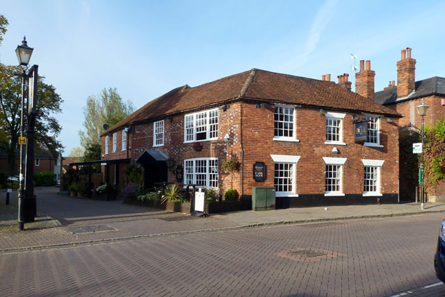
Image: © Robin Webster Taken: 25 Oct 2015
One of several pubs in Theale on what used to be the A4, the main road to Bath. This appears to have been associated with a brewery. The passage to the right, behind the bus stop, has an arch with 'Brewery Court' displayed, so it seems likely the brewery buildings are now residential.
Images are licensed for reuse under creativecommons.org/licenses/by-sa/2.0
Image Location
Latitude
51.437941
Longitude
-1.074307