Road names in a Whitchurch hedge
Introduction
The photograph on this page of Road names in a Whitchurch hedge by Jaggery as part of the Geograph project.
The Geograph project started in 2005 with the aim of publishing, organising and preserving representative images for every square kilometre of Great Britain, Ireland and the Isle of Man.

There are currently over 7.5m images from over 14,400 individuals and you can help contribute to the project by visiting https://www.geograph.org.uk
Road names in a Whitchurch hedge
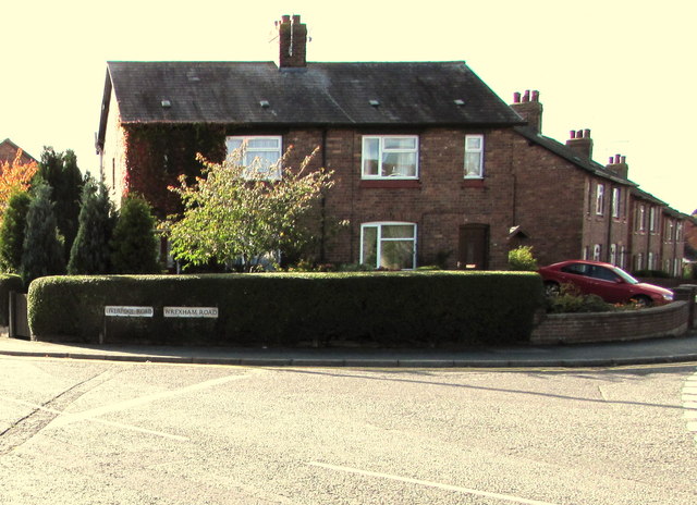
Image: © Jaggery Taken: 22 Oct 2015
Wrexham Road http://www.geograph.org.uk/photo/4714272 on the right is part of the route to Wrexham, about 20km away. Liverpool Road http://www.geograph.org.uk/photo/4714290 on the left is not a route to Liverpool, but a dead-end road.
Images are licensed for reuse under creativecommons.org/licenses/by-sa/2.0
Image Location
Latitude
52.966268
Longitude
-2.686038