The Geils Memorial
Introduction
The photograph on this page of The Geils Memorial by Lairich Rig as part of the Geograph project.
The Geograph project started in 2005 with the aim of publishing, organising and preserving representative images for every square kilometre of Great Britain, Ireland and the Isle of Man.

There are currently over 7.5m images from over 14,400 individuals and you can help contribute to the project by visiting https://www.geograph.org.uk
The Geils Memorial
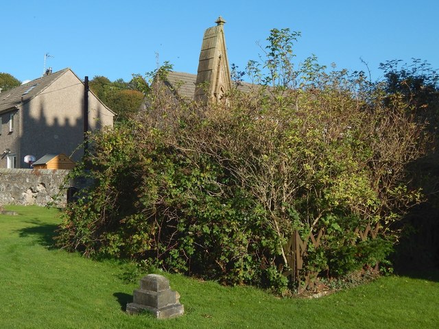
Image: © Lairich Rig Taken: 16 Oct 2015
This tall pointed memorial is in an enclosure that is so overgrown as to make its inscription inaccessible. However, the stone commemorates Captain John Edward Geils, laird of Dumbuck. Because its front is obscured by vegetation, I have depicted the memorial separately from behind; the main discussion of the memorial, and of Captain J E Geils, who is named on it, may be found with that image: Image By mid-2016, the enclosure had been cleared, and the stones were, probably for the first time in decades, exposed to view: Image In the present picture, the houses in the background are on Thistle Neuk.
Images are licensed for reuse under creativecommons.org/licenses/by-sa/2.0
Image Location
Latitude
55.926348
Longitude
-4.46088