Track out to Luddenham Marshes
Introduction
The photograph on this page of Track out to Luddenham Marshes by Marathon as part of the Geograph project.
The Geograph project started in 2005 with the aim of publishing, organising and preserving representative images for every square kilometre of Great Britain, Ireland and the Isle of Man.

There are currently over 7.5m images from over 14,400 individuals and you can help contribute to the project by visiting https://www.geograph.org.uk
Track out to Luddenham Marshes
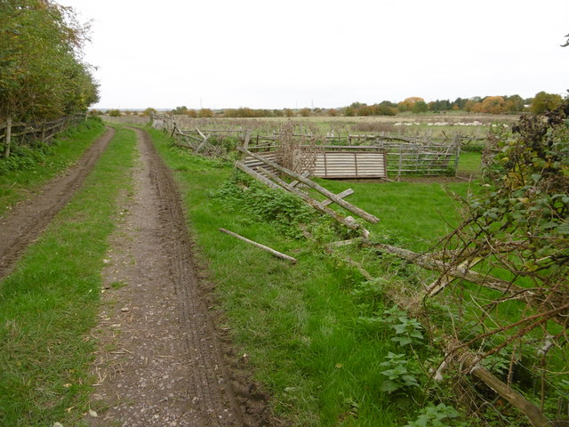
Image: © Marathon Taken: 23 Oct 2015
This view is from the unnamed lane just past the former Mounted Rifleman public house. It leads out to Luddenham Marshes.
Images are licensed for reuse under creativecommons.org/licenses/by-sa/2.0
Image Location
Latitude
51.329613
Longitude
0.84544