Portland Terrace and Rutland Terrace
Introduction
The photograph on this page of Portland Terrace and Rutland Terrace by Alan Murray-Rust as part of the Geograph project.
The Geograph project started in 2005 with the aim of publishing, organising and preserving representative images for every square kilometre of Great Britain, Ireland and the Isle of Man.

There are currently over 7.5m images from over 14,400 individuals and you can help contribute to the project by visiting https://www.geograph.org.uk
Portland Terrace and Rutland Terrace
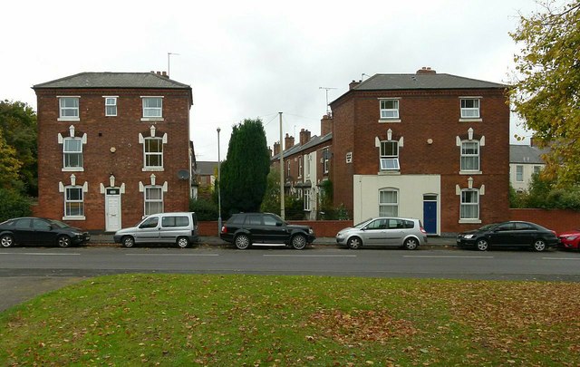
Image: © Alan Murray-Rust Taken: 21 Oct 2015
The detailing shows that these were not bottom of the range housing when built, but the lack of street frontage makes them less desirable in the age of the motor car. Dated 1888.
Images are licensed for reuse under creativecommons.org/licenses/by-sa/2.0
Image Location
Latitude
52.490431
Longitude
-1.926613