End of the road
Introduction
The photograph on this page of End of the road by Richard Law as part of the Geograph project.
The Geograph project started in 2005 with the aim of publishing, organising and preserving representative images for every square kilometre of Great Britain, Ireland and the Isle of Man.

There are currently over 7.5m images from over 14,400 individuals and you can help contribute to the project by visiting https://www.geograph.org.uk
End of the road
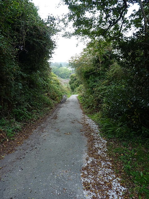
Image: © Richard Law Taken: 11 Oct 2015
This narrow lane leads east out of Trew, accessing the old mine workings on Carnmeal Downs, and gives out onto a footpath shortly beyond this point.
Images are licensed for reuse under creativecommons.org/licenses/by-sa/2.0
Image Location
Latitude
50.11958
Longitude
-5.329916