New housing estate east of Exeter
Introduction
The photograph on this page of New housing estate east of Exeter by David Smith as part of the Geograph project.
The Geograph project started in 2005 with the aim of publishing, organising and preserving representative images for every square kilometre of Great Britain, Ireland and the Isle of Man.

There are currently over 7.5m images from over 14,400 individuals and you can help contribute to the project by visiting https://www.geograph.org.uk
New housing estate east of Exeter
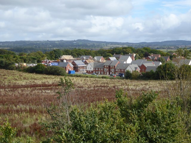
Image: © David Smith Taken: 6 Oct 2015
Part of one of the housing estates being built between the M5 and the (old) Exeter by-pass
Images are licensed for reuse under creativecommons.org/licenses/by-sa/2.0
Image Location
Latitude
50.706648
Longitude
-3.477891