The White House, Scraptoft
Introduction
The photograph on this page of The White House, Scraptoft by Mat Fascione as part of the Geograph project.
The Geograph project started in 2005 with the aim of publishing, organising and preserving representative images for every square kilometre of Great Britain, Ireland and the Isle of Man.

There are currently over 7.5m images from over 14,400 individuals and you can help contribute to the project by visiting https://www.geograph.org.uk
The White House, Scraptoft
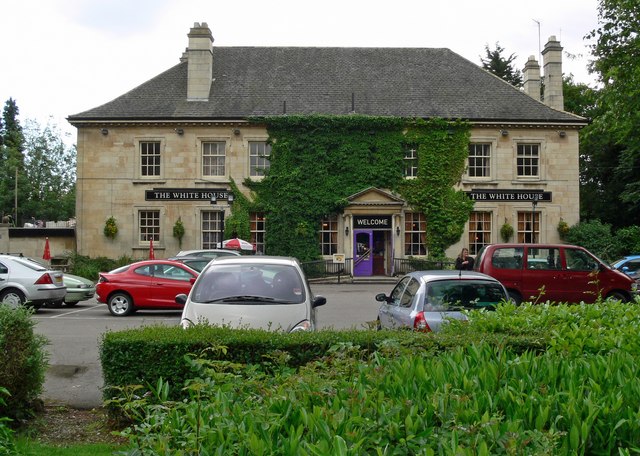
Image: © Mat Fascione Taken: 17 Jun 2007
Located along Scraptoft Lane east of Leicester. It was originally built in Normanton near Rutland Water in 1926 but was removed brick by brick and re-built in 1931. It is now a public house.
Images are licensed for reuse under creativecommons.org/licenses/by-sa/2.0
Image Location


Leaflet Map data © OpenStreetMap
Latitude
52.642957
Longitude
-1.047011