Vague path adjacent to A167
Introduction
The photograph on this page of Vague path adjacent to A167 by Trevor Littlewood as part of the Geograph project.
The Geograph project started in 2005 with the aim of publishing, organising and preserving representative images for every square kilometre of Great Britain, Ireland and the Isle of Man.

There are currently over 7.5m images from over 14,400 individuals and you can help contribute to the project by visiting https://www.geograph.org.uk
Vague path adjacent to A167
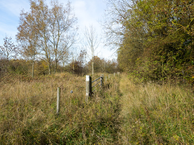
Image: © Trevor Littlewood Taken: 19 Oct 2015
There's a lay by on the west side of the A167 just north of Newton Aycliffe; from it a way leads through a narrow belt of trees to meet the fence seen in the photograph. Between that tree belt and the fence there's a vague but definite path or perhaps an animal trod.
Images are licensed for reuse under creativecommons.org/licenses/by-sa/2.0
Image Location
Latitude
54.639478
Longitude
-1.559638