Bottom of Rooksmoor Hill, Rooksmoor
Introduction
The photograph on this page of Bottom of Rooksmoor Hill, Rooksmoor by Jaggery as part of the Geograph project.
The Geograph project started in 2005 with the aim of publishing, organising and preserving representative images for every square kilometre of Great Britain, Ireland and the Isle of Man.

There are currently over 7.5m images from over 14,400 individuals and you can help contribute to the project by visiting https://www.geograph.org.uk
Bottom of Rooksmoor Hill, Rooksmoor
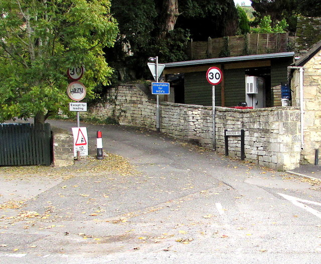
Image: © Jaggery Taken: 18 Oct 2015
Viewed across the A46 Bath Road about midway between Stroud and Nailsworth. Signs alongside Rooksmoor Hill show a 30mph speed limit ahead, unsuitable for heavy goods vehicles and no vehicles heavier than 7.5 tonnes (except for loading).
Images are licensed for reuse under creativecommons.org/licenses/by-sa/2.0
Image Location
Latitude
51.726573
Longitude
-2.229864