Turn right here for Rodborough and Minchinhampton
Introduction
The photograph on this page of Turn right here for Rodborough and Minchinhampton by Jaggery as part of the Geograph project.
The Geograph project started in 2005 with the aim of publishing, organising and preserving representative images for every square kilometre of Great Britain, Ireland and the Isle of Man.

There are currently over 7.5m images from over 14,400 individuals and you can help contribute to the project by visiting https://www.geograph.org.uk
Turn right here for Rodborough and Minchinhampton
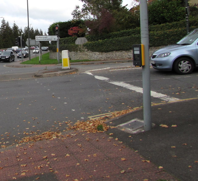
Image: © Jaggery Taken: 18 Oct 2015
On the corner of the A46 Bath Road in Stroud, a sign points right up Walkley Hill towards Rodborough and Minchinhampton (3½ miles).
Images are licensed for reuse under creativecommons.org/licenses/by-sa/2.0
Image Location
Latitude
51.738438
Longitude
-2.231517