Navigator Stroud
Introduction
The photograph on this page of Navigator Stroud by Jaggery as part of the Geograph project.
The Geograph project started in 2005 with the aim of publishing, organising and preserving representative images for every square kilometre of Great Britain, Ireland and the Isle of Man.

There are currently over 7.5m images from over 14,400 individuals and you can help contribute to the project by visiting https://www.geograph.org.uk
Navigator Stroud
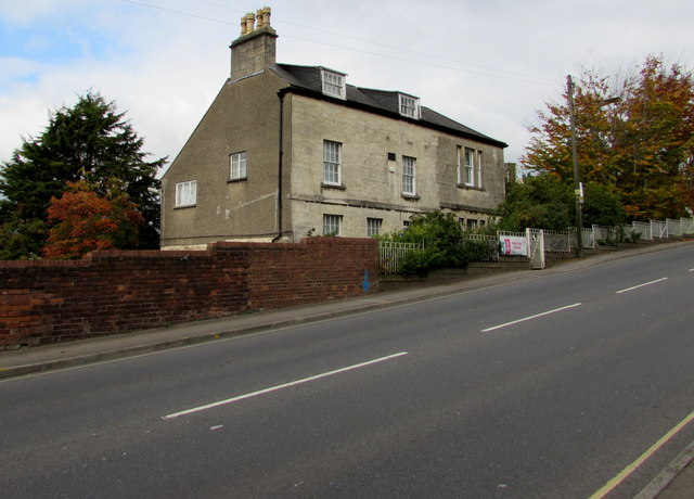
Image: © Jaggery Taken: 18 Oct 2015
Community-based housing-related support service office located in Unit 26, Daniels Industrial Estate, alongside the A46 Bath Road.
Images are licensed for reuse under creativecommons.org/licenses/by-sa/2.0
Image Location
Latitude
51.736817
Longitude
-2.232523