Bassells Farm and Rookcross Lane
Introduction
The photograph on this page of Bassells Farm and Rookcross Lane by Marathon as part of the Geograph project.
The Geograph project started in 2005 with the aim of publishing, organising and preserving representative images for every square kilometre of Great Britain, Ireland and the Isle of Man.

There are currently over 7.5m images from over 14,400 individuals and you can help contribute to the project by visiting https://www.geograph.org.uk
Bassells Farm and Rookcross Lane
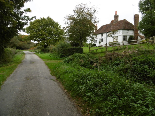
Image: © Marathon Taken: 17 Oct 2015
Bassels Lane (with one L) leads off Rookcross Lane just ahead on the right past Bassells Farmhouse (with two Ls).
Images are licensed for reuse under creativecommons.org/licenses/by-sa/2.0
Image Location
Latitude
50.971332
Longitude
-0.341991