Foundation Stones
Introduction
The photograph on this page of Foundation Stones by Neil Lewin as part of the Geograph project.
The Geograph project started in 2005 with the aim of publishing, organising and preserving representative images for every square kilometre of Great Britain, Ireland and the Isle of Man.

There are currently over 7.5m images from over 14,400 individuals and you can help contribute to the project by visiting https://www.geograph.org.uk
Foundation Stones
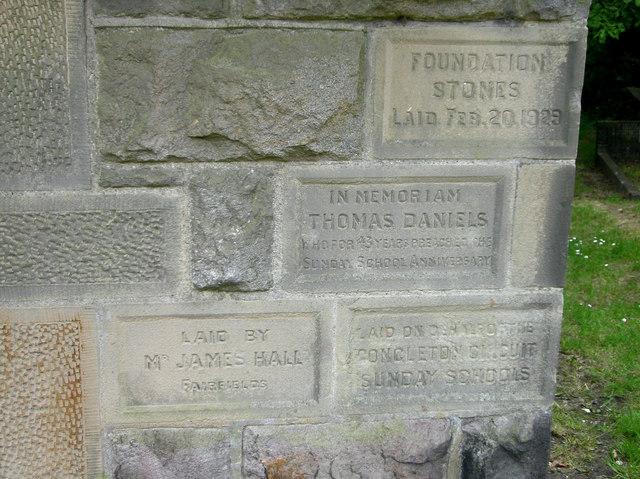
Image: © Neil Lewin Taken: 8 Jun 2007
on the Congleton Edge Methodist Chapel. As they are dated 1929 I presume that these are for an extension of the original chapel.
Images are licensed for reuse under creativecommons.org/licenses/by-sa/2.0
Image Location
Latitude
53.136468
Longitude
-2.186954