The Ulster Way in north Down (6)
Introduction
The photograph on this page of The Ulster Way in north Down (6) by Albert Bridge as part of the Geograph project.
The Geograph project started in 2005 with the aim of publishing, organising and preserving representative images for every square kilometre of Great Britain, Ireland and the Isle of Man.

There are currently over 7.5m images from over 14,400 individuals and you can help contribute to the project by visiting https://www.geograph.org.uk
The Ulster Way in north Down (6)
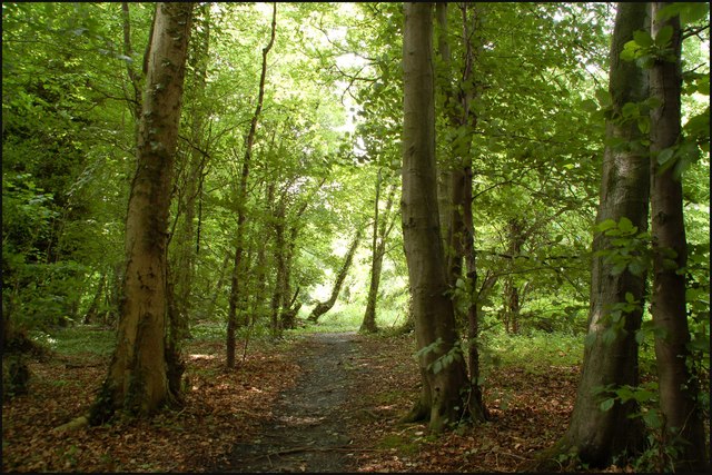
Image: © Albert Bridge Taken: 18 Jun 2007
See Image Having crossed the road (three minutes waiting for safe gaps in the traffic) the lane becomes narrower, the path is not quite so smooth and there is a greater feeling of being enclosed by the wood.
Images are licensed for reuse under creativecommons.org/licenses/by-sa/2.0
Image Location
Latitude
54.651637
Longitude
-5.746478