Construction of flats alongside Aerodrome Road, Colindale
Introduction
The photograph on this page of Construction of flats alongside Aerodrome Road, Colindale by Marathon as part of the Geograph project.
The Geograph project started in 2005 with the aim of publishing, organising and preserving representative images for every square kilometre of Great Britain, Ireland and the Isle of Man.

There are currently over 7.5m images from over 14,400 individuals and you can help contribute to the project by visiting https://www.geograph.org.uk
Construction of flats alongside Aerodrome Road, Colindale
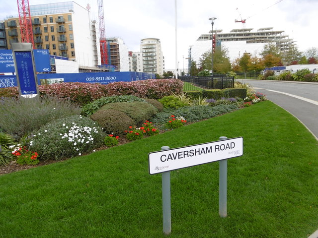
Image: © Marathon Taken: 14 Oct 2015
Aerodrome Road refers to the famous Hendon Aerodrome which was best-known for its flying displays between the Wars - see https://en.wikipedia.org/wiki/Hendon_Aerodrome Much of the south side of Aerodrome Road is taken up by the Metropolitan Police Training Establishment (known as the Peel Centre), and there are also some rather run down former industrial sites. However, the north side had a great deal of new building of flats going on at the time this photograph was taken.
Images are licensed for reuse under creativecommons.org/licenses/by-sa/2.0
Image Location


Leaflet Map data © OpenStreetMap
Latitude
51.594003
Longitude
-0.238568