Ship Street Gardens, Brighton
Introduction
The photograph on this page of Ship Street Gardens, Brighton by Simon Carey as part of the Geograph project.
The Geograph project started in 2005 with the aim of publishing, organising and preserving representative images for every square kilometre of Great Britain, Ireland and the Isle of Man.

There are currently over 7.5m images from over 14,400 individuals and you can help contribute to the project by visiting https://www.geograph.org.uk
Ship Street Gardens, Brighton
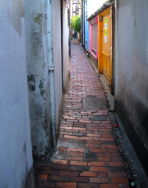
Image: © Simon Carey Taken: 11 Oct 2015
A narrow alley running between Middle Street and Ship Street containing mostly 19th century buildings.
Images are licensed for reuse under creativecommons.org/licenses/by-sa/2.0
Image Location
Latitude
50.821379
Longitude
-0.142577