Former site of John Brown's Shipyard
Introduction
The photograph on this page of Former site of John Brown's Shipyard by Stephen Sweeney as part of the Geograph project.
The Geograph project started in 2005 with the aim of publishing, organising and preserving representative images for every square kilometre of Great Britain, Ireland and the Isle of Man.

There are currently over 7.5m images from over 14,400 individuals and you can help contribute to the project by visiting https://www.geograph.org.uk
Former site of John Brown's Shipyard
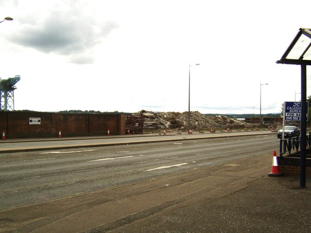
Image: © Stephen Sweeney Taken: 17 Jun 2007
A very important place in history, every Cunard liner including the QE2 and Queen Mary were built here until 1967. Now being cleared for the regeneration of the Clydebank Waterfront.
Images are licensed for reuse under creativecommons.org/licenses/by-sa/2.0
Image Location
Latitude
55.89862
Longitude
-4.404094