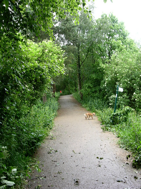
Start of Kirklees Trail, Greenmount
Introduction
The photograph on this page of Start of Kirklees Trail, Greenmount by liz dawson as part of the Geograph project.
The Geograph project started in 2005 with the aim of publishing, organising and preserving representative images for every square kilometre of Great Britain, Ireland and the Isle of Man.
There are currently over 7.5m images from over 14,400 individuals and you can help contribute to the project by visiting https://www.geograph.org.uk

Image: © liz dawson Taken: 16 Jun 2007
The Kirklees Trail is a 2.5 km shared use path for walkers, cyclists and horseriders along a former railway line (currently) between Tottington and Greenmount. At one time Greenmount village was a stopping point from Bury to Holcombe Brook via a rail line operated by the Lancashire & Yorkshire Railway, this line was closed to passengers in 1968. The old rail line is now the central footpath through a park and nature trail through Kirklees Valley called Kirklees Trail, this trail provides an alternative flat route for pedestrians to access the neighbouring town of Tottington (the alternative route by road involves negotiating two steep hills via the A676 or 'Stormer Hill'). There is also a lake popular with fishermen, an impressive bridge over the river, a bird sanctuary (Greenmount Wild Bird Sanctuary) and a cricket club all situated along the trail.

