Retford Top Aqueduct
Introduction
The photograph on this page of Retford Top Aqueduct by Alan Murray-Rust as part of the Geograph project.
The Geograph project started in 2005 with the aim of publishing, organising and preserving representative images for every square kilometre of Great Britain, Ireland and the Isle of Man.

There are currently over 7.5m images from over 14,400 individuals and you can help contribute to the project by visiting https://www.geograph.org.uk
Retford Top Aqueduct
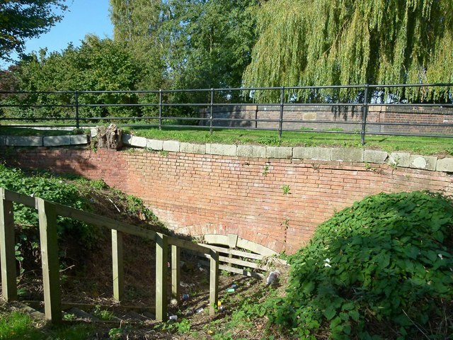
Image: © Alan Murray-Rust Taken: 11 Oct 2015
It seems that the watercourse for which this was provided was cut off a long time ago. Even the 1885 OS map shows nothing, but something must have justified the initial expense.
Images are licensed for reuse under creativecommons.org/licenses/by-sa/2.0
Image Location
Latitude
53.31901
Longitude
-0.944952