King Edwards Court Retirement Village
Introduction
The photograph on this page of King Edwards Court Retirement Village by Alan Murray-Rust as part of the Geograph project.
The Geograph project started in 2005 with the aim of publishing, organising and preserving representative images for every square kilometre of Great Britain, Ireland and the Isle of Man.

There are currently over 7.5m images from over 14,400 individuals and you can help contribute to the project by visiting https://www.geograph.org.uk
King Edwards Court Retirement Village
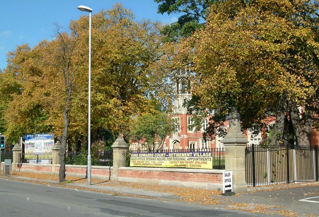
Image: © Alan Murray-Rust Taken: 11 Oct 2015
This has been developed in the playgrounds to the rear of the former King Edward School buildings, but conversion of the old buildings to apartments is also planned.
Images are licensed for reuse under creativecommons.org/licenses/by-sa/2.0
Image Location


Leaflet Map data © OpenStreetMap
Latitude
53.317783
Longitude
-0.938377