Somerset Point, Kemp Town, Brighton
Introduction
The photograph on this page of Somerset Point, Kemp Town, Brighton by Simon Carey as part of the Geograph project.
The Geograph project started in 2005 with the aim of publishing, organising and preserving representative images for every square kilometre of Great Britain, Ireland and the Isle of Man.

There are currently over 7.5m images from over 14,400 individuals and you can help contribute to the project by visiting https://www.geograph.org.uk
Somerset Point, Kemp Town, Brighton
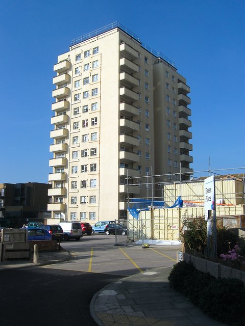
Image: © Simon Carey Taken: 11 Oct 2015
The high rise block was one of five built in the vicinity during the 1960s. They replaced an old slum area that was once located in a square bounded by Montague Place in the east, St Mary's Place in the west, Eastern Road to the north and St George's Terrace and Upper St James's Street to the south. Much of the area had been developed in the 1820s and 30s and had soon become a poor slum area. The first clearances began in the 1930s but were interrupted by the war and the area remained derelict and run down until the 1960s. Even with the tower blocks built much of the area retained a derelict and run down feel until the 1980s when much infilling occurred. This view is from the entrance to Essex Place, another block out of shot to the right, on Montague Street.
Images are licensed for reuse under creativecommons.org/licenses/by-sa/2.0
Image Location
Latitude
50.820293
Longitude
-0.125299